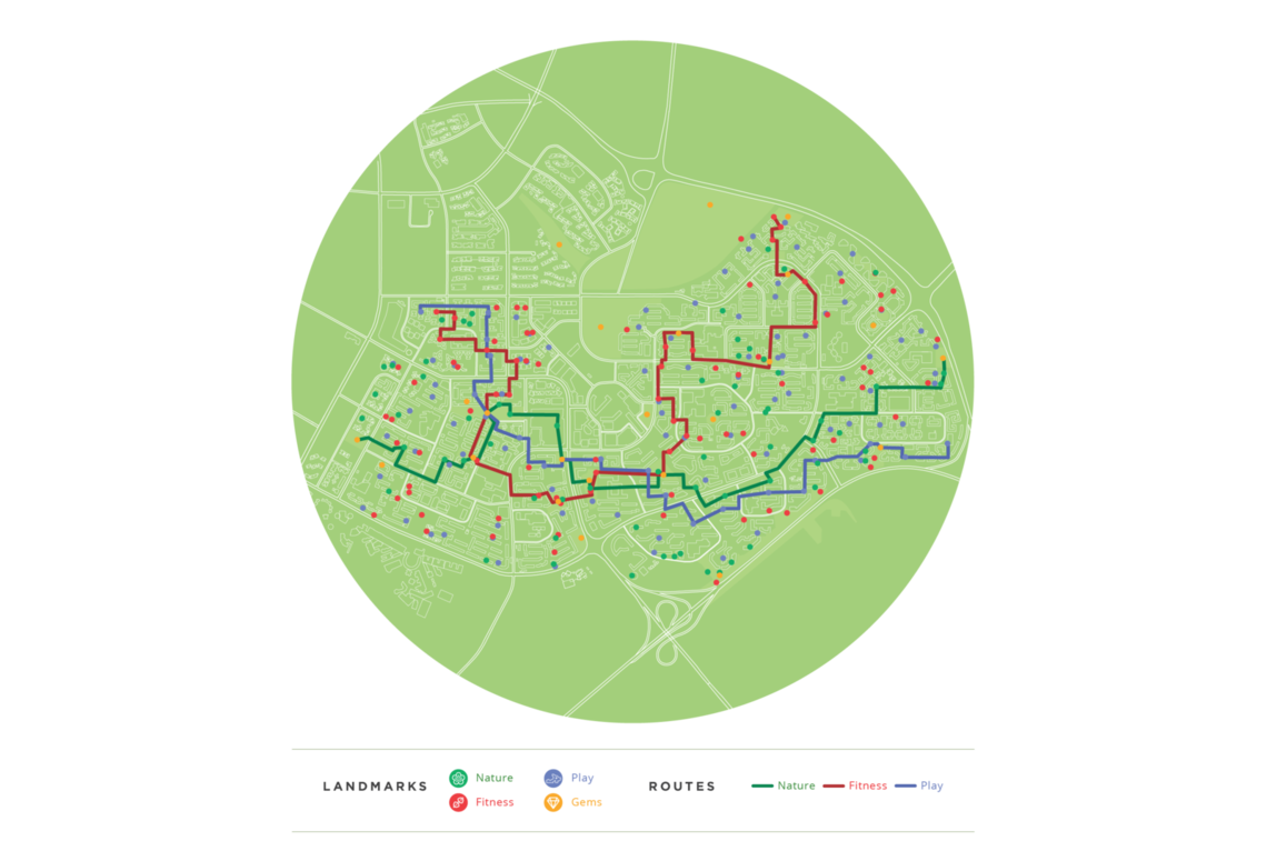
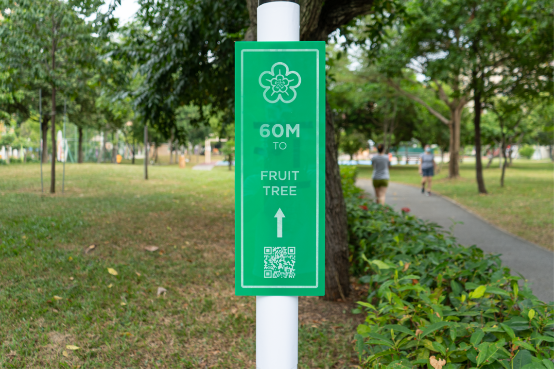
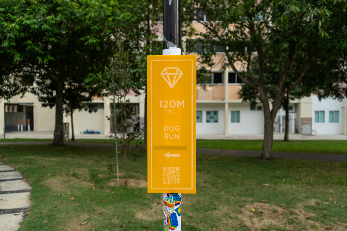
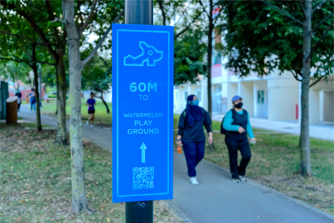
CAPSTONE DESIGN SHOWCASE 2021
-
DAYS
-
HOURS
-
MINUTES
-
SECONDS
COMING SOON


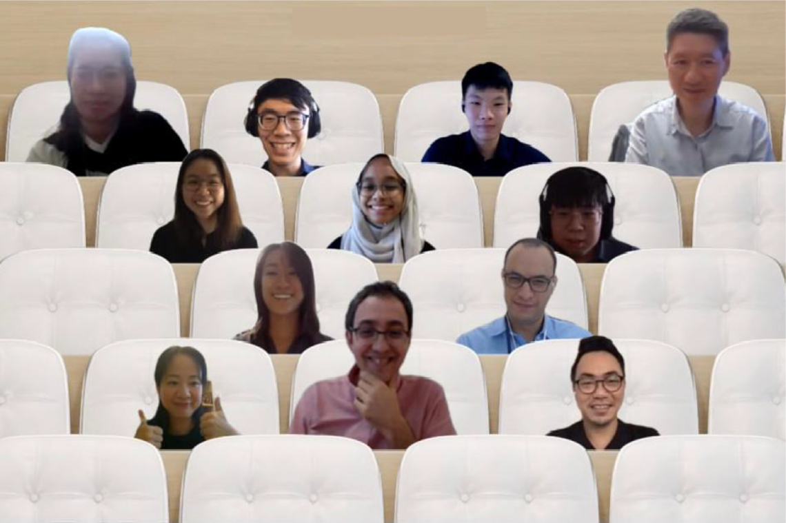
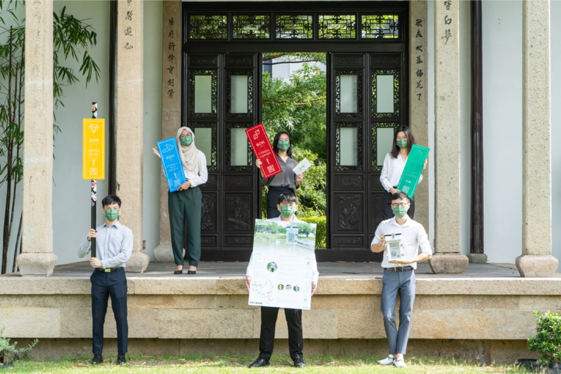
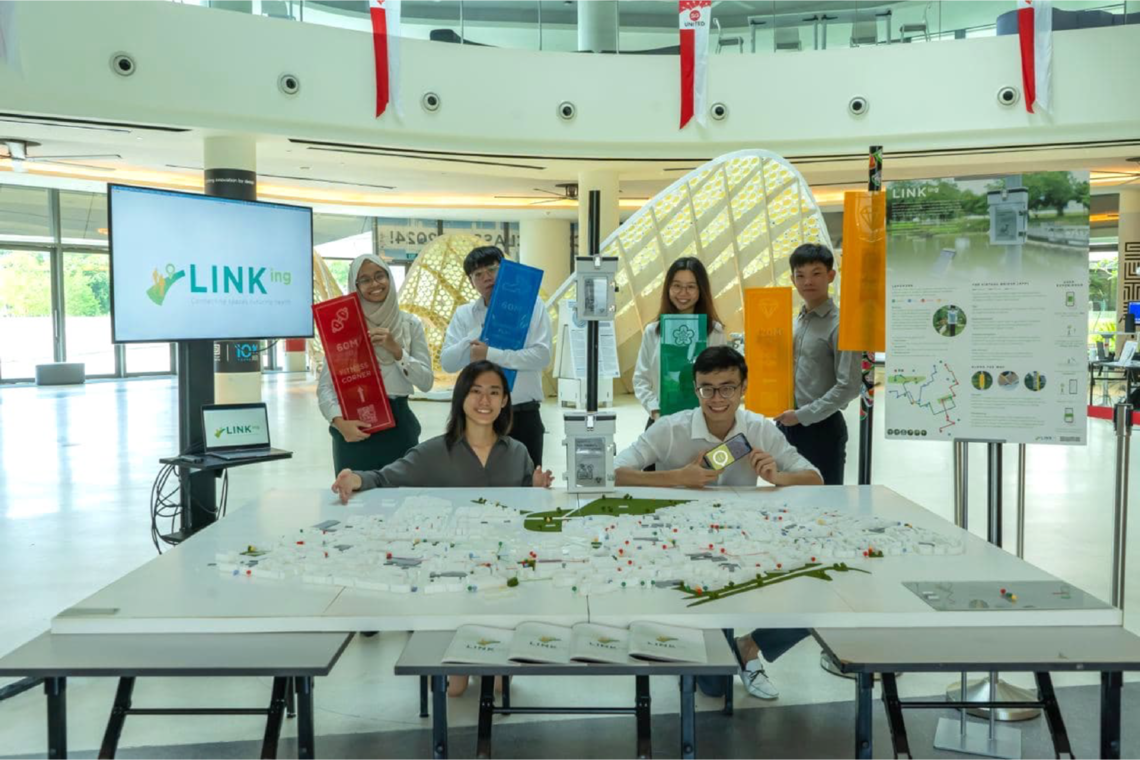
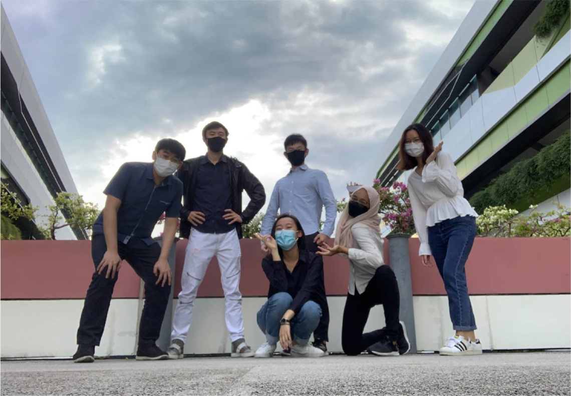
Team members
Sandy Low Yu Xian (ASD), Tan Qi Feng (EPD), Terry Cavan Chan (EPD), Nurul Akhira Binte Zakaria (EPD), Ang Jia Ying (ESD), Keith Ng Zian Kai (ISTD)
Instructors:
Cyrille Pierre Joseph Jegourel, Yang Hui Ying, Francisco Benita, Chong Keng Hua, Sergey Kushnarev
Writing Instructors:
Teaching Assistant:

 Sandy Low Yu Xian
Architecture and Sustainable Design
Sandy Low Yu Xian
Architecture and Sustainable Design
 Tan Qi Feng
Engineering Product Development
Tan Qi Feng
Engineering Product Development
 Terry Cavan Chan
Engineering Product Development
Terry Cavan Chan
Engineering Product Development
 Nurul Akhira Binte Zakaria
Engineering Product Development
Nurul Akhira Binte Zakaria
Engineering Product Development
 Ang Jia Ying
Engineering Systems and Design
Ang Jia Ying
Engineering Systems and Design
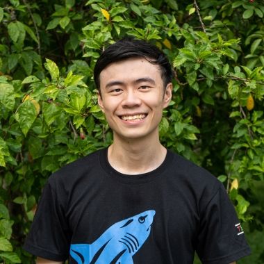 Keith Ng Zian Kai
Information Systems Technology and Design
Keith Ng Zian Kai
Information Systems Technology and Design
Sandy Low Yu Xian
Architecture and Sustainable Design
Tan Qi Feng
Engineering Product Development
Terry Cavan Chan
Engineering Product Development
Nurul Akhira Binte Zakaria
Engineering Product Development
Ang Jia Ying
Engineering Systems and Design
Keith Ng Zian Kai
Information Systems Technology and Design